Land and Water Use Department
Tasks: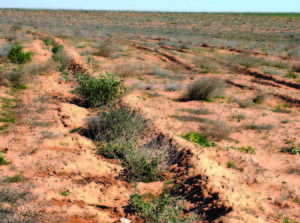
- Developing sustainable land management (SLM) and combating desertification.
- Developing land resources and increasing their productivity.
- Land resources mapping (soil classification, land use, land degradation, etc.).
- Improving the traditional farming practices in the arid areas and encouraging the exchange of knowledge and advanced techniques.
- Enhancing the sustainable use of non-conventional water resources in Arab region.
- Participating in capacity building of the Arab national institutes (training, planning, implementation, support, networking, workshops, exchange of experience, etc.).
Programs
The Department carries out its activities via the following programs:
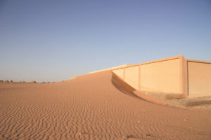
Monitoring and Combating Desertification Program: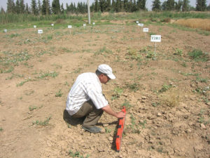
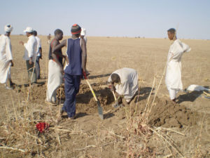
This program includes conducting studies on monitoring, assessing, and combating desertification and rehabilitating the degraded lands in the Arab countries; implementing pilot projects related to desertification, land degradation and drought (DLDD), improving the methods and practices of the sustainable development of land resources, exchanging experiences, transferring techniques and capacity building in the field of monitoring and combating desertification; and following up the implementation of UNCCD in the Arab countries.
-
Sustainable Land Management and Water Use Program:
The program aims to improve sustainable land management (SLM) in order to conserve land resources and increase their productivity, select means and methods of using conventional and non-conventional water resources (saline, brackish, treated waste water and grey water) safely and rationalize their use in agriculture, as well as identify irrigation and drainage requirements.
Land Resources Studies and Mapping Program: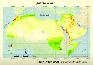
This program includes studies on the survey of land resources and preparation of land maps using remote sensing techniques and GIS, through the following:
- Monitoring land cover/use changes.
- Monitoring desertification, land degradation and drought.
- Potential and proposed land use, soil classification, soil fertility, etc…
- Prepare soil terrain database maps SOTER.
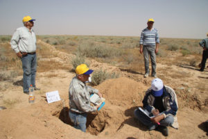
Training activities:
The Land and Water Use department carries out other activities including the organization of training courses and workshops at the national and regional levels.
The most important fields of training are:
- Monitoring desertification, land degradation and drought (DLDD)
- Combating desertification and rehabilitating the degraded lands.
- Remote sensing and GIS application in the field of land resources studies.
- Soil survey and classification, and preparation of soil and SOTER maps.
- Use of non-conventional water (saline and brackish water, treated sewage water and sludge) in agriculture.
- Supplementary irrigation and agricultural drainage.
- Designing, implementing, and evaluating different irrigation and drainage systems.