Workshop on Preparing of land-use Maps in ACSAD
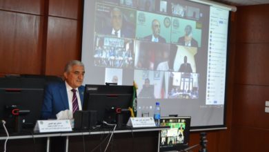
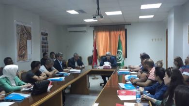
Today, the workshop on “preparing Land use Maps,” organized by the Arab Center for the Studies of Arid Zones and Drylands (ACSAD), started at its headquarters in Damascus, in cooperation with the University of East Anglia in Britain, for the benefit of 16 engineers from the Ministries of Agriculture and Agrarian Reform, Water Resources, Local Administration and Environment of the Syrian Arab Republic.

The Director-General of the Arab Center (ACSAD), Dr. Nasr Edin Obeid, said in a speech at the opening of the workshop that since its establishment of the organization, it has still paid great attention to the development, management of natural resources, especially water resources, which contribute to the agricultural land-use and the enhancement of food security.
He also pointed to ACSAD contribution in achieving several studies and water projects in the Syrian Arab Republic; first among them, constructing numbers of mountain lakes on the Syrian coast and groundwater modeling in the basins of Al Furat, Al Asi, and the coast. In addition to conducting a comprehensive study on raising irrigation efficiency in the Arab countries, including the Syrian Arab Republic.
The Director-General of ACSDA Organization, Dr. Nasr Edin Obaid, gave a great appreciation and respect to the leadership, Government and people of Syria, the country of the headquarters, which has still provided outstanding technical assistance and expertise from the agriculture sectors and university, as it suits it in the past, present and future, and expressed profound thanks and gratitude to all Syrian authorities. Foremost among all, The Ministry of Agriculture and Agrarian Reform, for its generous patronage and unlimited support that has still provided to the organization, which has contributed significantly to its continuing activities and playing its essential role, both regionally and at the Arab world levels, despite the difficult years the country has faced.
With its practical scientific activities, the three-day workshop includes several themes, the identification and classification of satellite imagery, and the identification of locations from which satellite imagery can be acquired.
It also includes using clues in preparing land-use maps and scientific training on downloading these satellite imagery from international sites and preparing this land-use map using satellite imagery.