119 Arab trainees in a training course on land degradation methods held by ACSAD
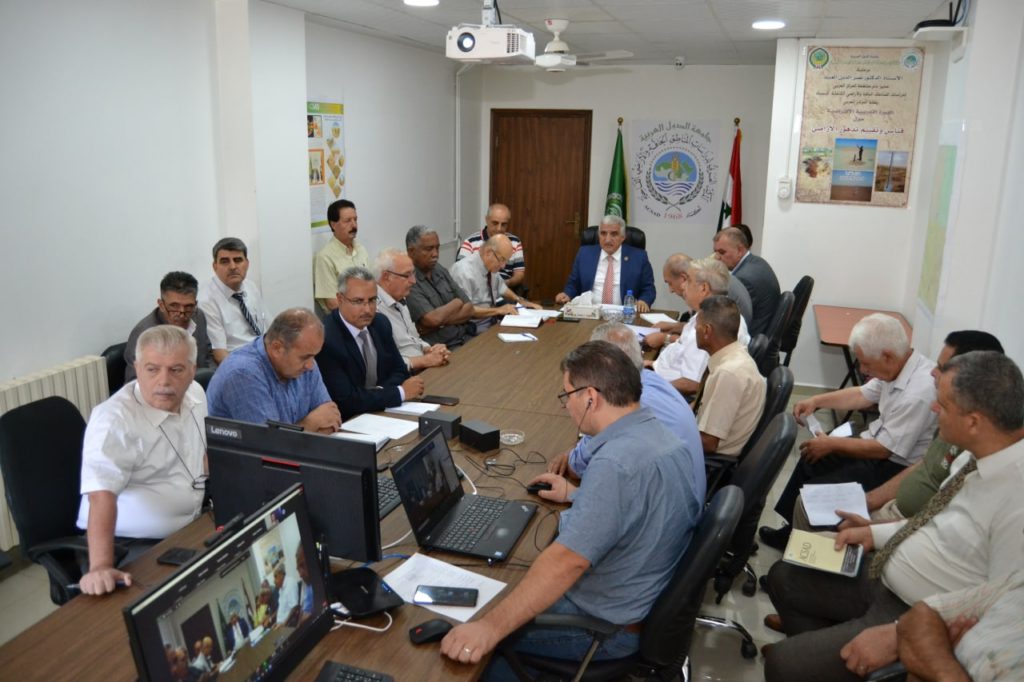
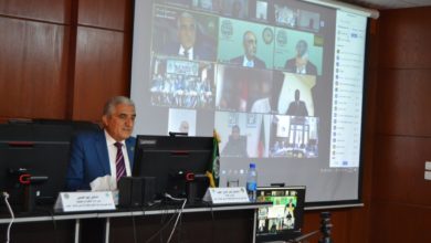
Today, at the headquarters of the Arab Center for the Studies of Arid zones and Dry lands – ACSAD, a virtual training course on methods for measuring and evaluating land degradation began for more than 119 trainees from twelve Arab countries, with the participation of the Union of Arab Agricultural Engineers and the Electronic Biodiversity Group.
His Excellency Dr. Naser Aldin Al-Obaid Director General of ACSAD, stressed in his speech during the opening of the session via video conference the great importance of this session to learn about the latest technologies used in monitoring the state of land and to intervene in a timely manner, which is one of the most important global trends towards implementing the fifteenth goal of the Sustainable Development Goals, which adopts combating desertification and restoring degraded lands, and returning them to an optimal state of production and giving.
He called for the necessity of coordinating efforts and unifying attitudes towards dealing with issues of desertification and land degradation, in line with ACSAD’s tasks in the Arab region in terms of preserving environmental systems, taking care of natural resources, including land resources, and working on their development and rationalization of their investment.
Dr. Al-Obaid explained that ACSAD depends in monitoring land degradation on the use of multi-date satellite data and the capabilities of spectral and spatial discrimination to identify degraded sites and prepare their maps, and the integration between remote sensing technologies and field work to assess land degradation based on global systems, and conducting field measurements using various field devices. In order to determine the severity of degradation, determine the loss of soil, and develop plans to reduce land degradation and rehabilitate the degraded ones.
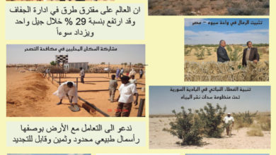
A brief presentation was made for success stories in many Arab countries, most notably the Syrian, Jordanian, Saudi, Iraqi Hammad, and innovative technologies implemented in the Siwa Oasis Development Project, Matrouh, North Sinai, and a map optimal uses in Sudan to estimate the deterioration and reclamation of land using the GIC, as well as rainwater harvesting projects in Lebanon and Syria, and projects carried out by ACSAD in Jordan, particularly a draft Sabhia and Sabha, which gave excellent results in the context of maintenance and reclamation of pastures.
His Excellency spoke about the important role played by ACSAD as an Arab expert house with a long history in building Arab capacities in various fields of agricultural development, which contributed to raising the technical and administrative efficiency of Arab agricultural cadres.
Dr. Al-Obaid stressed that the holding of this session comes within the efforts made to preserve land and limit its degradation in light of climatic changes that directly affect our Arab region, and said that this requires us to redouble efforts in order to mitigate its negative effects, to contribute to achieving Arab food security.
Called the Cairo Declaration issued by the meeting of the thirty-sixth session of the General Assembly of ACSAD 2022.
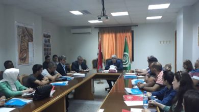
A number of ACSAD experts and researchers give several lectures over two days on several specialized topics dealing with methods and methodologies for assessing and estimating wind erosion, monitoring dust storms using remote sensing, as well as estimating water erosion using modeling and evaluating its security, and other various scientific lectures in this field.